|
search place name
|
||
Tetilawai (Timor Timur, East Timor)Tetilawai is a town in the Timor Timur region of East Timor. An overview map of the region around Tetilawai is displayed below.
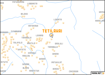
regional and 3d topo map of Tetilawai, East Timor ::
Tetilawai airports ::
The nearest airport is DIL - Dili Presidente Nicolau Lobato Intl, located 38.4 km north west of Tetilawai.
Nearby towns ::
Fanulelo (0.7km south west) //
Marcoluli (2.0km south west) //
Turiscailau (2.5km south west) //
Binimalo (2.9km south west) //
Fohonaro (3.1km south west) //
Kotalaura (3.8km west) //
Oroluli (3.9km south east) //
Acumata (4.2km west) //
Tarabula (4.3km south) //
Turiscai (4.6km west) //
Lemano (4.6km west) //
Bucacoa (4.6km west) //
Fatulelo (4.9km south) //
Fahilebu (4.9km south west) //
Risso (4.8km west) //
Faturedelau (4.9km west) //
Namoluti (5.3km north) //
Railete (5.5km west) //
Fohua (5.5km west) //
Beremana (5.8km south west) //
Lisuata (5.9km north) //
Toileru (6.0km west) //
Delubo (6.0km south west) //
Fatu-Maquerec (6.5km north east) //
Furaclau (6.8km south west) //
Orana (6.8km south) //
Laclo (7.2km south west) //
Hatokade (7.5km north west) //
Boroulo (7.7km south west) //
[all distances 'as the bird flies' and approximate] 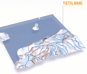 Places with similar names to Tetilawai, East Timor ::
Disclaimer :: Information on this page comes without warranty of any kind |
||
|
Where is Tetilawai? Elevation and coordinates ::
Latitude (lat): 8°48'47"S Longitude (lon): 125°44'52"E
Elevation (approx.): 886m (map arrows pan, magnifying glasses zoom) |
||
|
Visiting Tetilawai? Hotel/Accommodation ::
Book a hotel in Tetilawai Travel Guide ::
Buy a travel guide for East Timor rental cars ::
car rental offers GPS waypoint ::
download a GPX waypoint (PoI) of Tetilawai for your GPS receiver
|
||