|
search place name
|
||
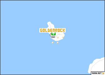
Golden Rock (Netherlands Antilles)Golden Rock is a town in Netherlands Antilles. An overview map of the region around Golden Rock is displayed below.
regional and 3d topo map of Golden Rock, Netherlands Antilles ::
Golden Rock airports ::
The nearest airport is EUX - Oranjestad F D Roosevelt, located 1.5 km north of Golden Rock.
Other airports nearby include SKB - Basse Terre Robert L Bradshaw (34.0 km south east), SXM - Philipsburg Princess Juliana Intl (63.1 km north), SFG - St. Martin Grand Case (68.6 km north), AXA - The Valley Wallblake (80.2 km north), Nearby towns ::
New Ground (0.0km north) //
Godet (0.0km north) //
Benners (0.0km north) //
Cottage Pasture (0.0km north) //
Fiscal (0.0km north) //
Schotsenhoek (0.0km north) //
Wilton (1.9km south) //
Chapel Piece (1.9km south) //
Concordia (1.8km east) //
Hearty (1.8km east) //
Lower Town (1.9km south) //
Mansion (1.8km east) //
Oranjestad (1.9km south) //
Paramira (1.8km east) //
Prospect (1.9km south) //
Upper Town (1.9km south) //
Glass Bottle (2.6km south east) //
Bouille (2.6km south east) //
Gilheads (2.6km south east) //
Mountain Piece (3.5km east) //
[all distances 'as the bird flies' and approximate] 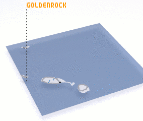 Places with similar names to Golden Rock, Netherlands Antilles ::
// Golden Rock (IN)
// Coll de Nargó (ES)
Disclaimer :: Information on this page comes without warranty of any kind |
||
|
Where is Golden Rock? Elevation and coordinates ::
Latitude (lat): 17°29'0"N Longitude (lon): 62°59'0"W
Elevation (approx.): 61m (map arrows pan, magnifying glasses zoom) |
||
|
Visiting Golden Rock? Hotel/Accommodation ::
Book a hotel in Golden Rock Travel Guide ::
rental cars ::
car rental offers GPS waypoint ::
download a GPX waypoint (PoI) of Golden Rock for your GPS receiver
|
||