|
search place name
|
||
San Antonio Los Ranchos (Chalatenango, El Salvador)San Antonio Los Ranchos is a town in the Chalatenango region of El Salvador. An overview map of the region around San Antonio Los Ranchos is displayed below.
regional and 3d topo map of San Antonio Los Ranchos, El Salvador ::

San Antonio Los Ranchos airports ::
The nearest airport is SAL - San Salvador El Salvador Intl, located 64.1 km south of San Antonio Los Ranchos.
Other airports nearby include TGU - Tegucigalpa Toncontin Intl (181.9 km east), GUA - Guatemala City La Aurora (187.1 km west), SAP - San Pedro Sula La Mesa Intl (192.1 km north east), CBV - Coban (229.7 km north west), Nearby towns ::
El Gramal (1.8km west) //
El Salitre (2.6km north west) //
Alto El Sitio (2.6km south east) //
Guarjila (2.6km north east) //
Potonico (3.7km south) //
Tepeyac (3.7km north) //
La Montaña (3.6km east) //
Potrerillos (4.1km south west) //
Piedras Gordas (4.0km south west) //
San Miguel de Mercedes (4.0km north west) //
Chiapas (4.1km north east) //
El Mojón (4.0km north east) //
Chalatenango (5.2km north west) //
Candelaria (5.2km south east) //
Palo Verde (5.2km north east) //
El Matazano (5.4km west) //
Monte Redondo (5.6km south) //
San Isidro Labrador (5.4km east) //
Portillo del Norte (5.4km east) //
Corral Falso (5.8km south) //
San José Cancasque (5.7km east) //
San Juan (6.5km south west) //
Carolina (6.6km south east) //
Lagunita (6.5km north east) //
Las Limas (6.5km north east) //
San José (7.2km west) //
Las Mesitas (7.2km west) //
El Sicahuital (7.2km east) //
Los Ortiz (7.4km north) //
[all distances 'as the bird flies' and approximate] 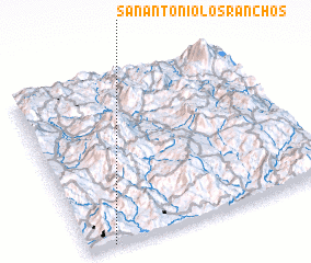 Places with similar names to San Antonio Los Ranchos, El Salvador ::
// San Antonio Los Ranchos (SV)
Disclaimer :: Information on this page comes without warranty of any kind |
||
|
Where is San Antonio Los Ranchos? Elevation and coordinates ::
Latitude (lat): 14°0'0"N Longitude (lon): 88°54'0"W
Elevation (approx.): 511m (map arrows pan, magnifying glasses zoom) |
||
|
Visiting San Antonio Los Ranchos? Hotel/Accommodation ::
Book a hotel in San Antonio Los Ranchos Travel Guide ::
Buy a travel guide for El Salvador rental cars ::
car rental offers GPS waypoint ::
download a GPX waypoint (PoI) of San Antonio Los Ranchos for your GPS receiver
|
||