|
search place name
|
||
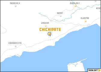
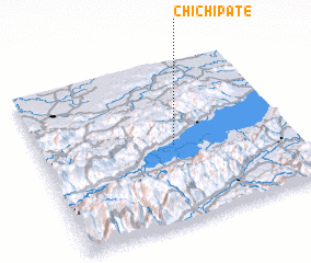
Chichipate (Izabal, Guatemala)Chichipate is a town in the Izabal region of Guatemala. An overview map of the region around Chichipate is displayed below.
regional and 3d topo map of Chichipate, Guatemala ::
Chichipate airports ::
The nearest airport is CBV - Coban, located 100.9 km west of Chichipate.
Other airports nearby include GUA - Guatemala City La Aurora (151.4 km south west), SAP - San Pedro Sula La Mesa Intl (165.6 km east), TEA - Tela (215.9 km east), Nearby towns ::
 Places with similar names to Chichipate, Guatemala ::
// Chichipate (GT)
// Chichipate (HN)
// Chaucha Pata (PE)
// Chiachipata (PE)
// Chichipata (PE)
// Chitiapata (PE)
// Shchepet (RU)
Disclaimer :: Information on this page comes without warranty of any kind |
||
|
Where is Chichipate? Elevation and coordinates ::
Latitude (lat): 15°29'0"N Longitude (lon): 89°28'0"W
Elevation (approx.): 109m (map arrows pan, magnifying glasses zoom) |
||
|
Visiting Chichipate? Hotel/Accommodation ::
Book a hotel in Chichipate Travel Guide ::
Buy a travel guide for Guatemala rental cars ::
car rental offers GPS waypoint ::
download a GPX waypoint (PoI) of Chichipate for your GPS receiver
|
||