|
search place name
|
||
Huitán (Quetzaltenango, Guatemala)Huitán is a town in the Quetzaltenango region of Guatemala. An overview map of the region around Huitán is displayed below.
regional and 3d topo map of Huitán, Guatemala ::

Huitán airports ::
The nearest airport is TAP - Tapachula Intl, located 87.8 km south west of Huitán.
Other airports nearby include GUA - Guatemala City La Aurora (130.4 km south east), CBV - Coban (136.2 km east), TGZ - Tuxtla Gutierrez Angel Albino Corzo (221.3 km north west), Nearby towns ::
Saquicol Chiquito (2.6km north east) //
Cabricán (3.7km north) //
Vixbén (5.6km south) //
Calel (6.5km south east) //
Agua Caliente (6.5km north east) //
Saquicol (6.6km north east) //
Chicajalaj (7.2km west) //
Pologuá (8.1km north east) //
San Vicente Buenabaj (8.2km south east) //
San Isidro (9.1km north west) //
Río Blanco (10.3km south west) //
Tierra Blanca (10.3km south east) //
Estancia de La Virgen (10.3km north east) //
Chiquibal (10.3km north east) //
[all distances 'as the bird flies' and approximate] 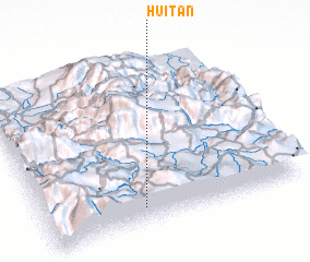 Places with similar names to Huitán, Guatemala ::
Disclaimer :: Information on this page comes without warranty of any kind |
||
|
Where is Huitán? Elevation and coordinates ::
Latitude (lat): 15°6'0"N Longitude (lon): 91°37'0"W
Elevation (approx.): 2651m (map arrows pan, magnifying glasses zoom) |
||
|
Visiting Huitán? Hotel/Accommodation ::
Book a hotel in Huitán Travel Guide ::
Buy a travel guide for Guatemala rental cars ::
car rental offers GPS waypoint ::
download a GPX waypoint (PoI) of Huitán for your GPS receiver
|
||