|
search place name
|
||
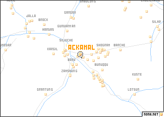
Ackāmal (Jammu and Kashmīr, India)Ackāmal is a town in the Jammu and Kashmīr region of India. An overview map of the region around Ackāmal is displayed below.
regional and 3d topo map of Ackāmal, India ::
Ackāmal airports ::
The nearest airport is IXL - Leh, located 136.0 km east of Ackāmal.
Other airports nearby include SXR - Srinagar (142.3 km south west), GIL - Gilgit (224.5 km north west), IXJ - Jammu (240.7 km south west), Nearby towns ::
Yogma (0.4km north east) //
Mangmūr (1.0km north west) //
Raung (1.1km east) //
Kulumbur (1.4km north) //
Ando (1.7km south west) //
Gond (2.0km north east) //
Baru (2.3km south west) //
Chhutumel (2.2km east) //
Barutrock (2.6km south west) //
Poin (3.0km north) //
Chānching (2.8km west) //
Golcha (3.1km north east) //
Astangas (3.1km east) //
Thārumsa (3.7km south east) //
Polokhor (3.4km west) //
Bethāng (3.6km north west) //
Beyāma (3.7km north east) //
Phikār (3.7km east) //
Shilkacha (3.9km north west) //
Gon Kargil (3.8km west) //
Silikche (4.2km north west) //
Titichhung (4.4km south west) //
Brokhar (4.4km south east) //
Thanjok (4.1km north east) //
Zamshung (4.6km south west) //
Yūrbāthāk (4.3km north east) //
Gurung (4.6km south east) //
Pashkyum (5.0km south east) //
Tumel (4.3km east) //
[all distances 'as the bird flies' and approximate] 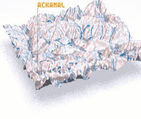 Places with similar names to Ackāmal, India ::
Disclaimer :: Information on this page comes without warranty of any kind |
||
|
Where is Ackāmal? Elevation and coordinates ::
Latitude (lat): 34°33'25"N Longitude (lon): 76°9'30"E
Elevation (approx.): 2816m (map arrows pan, magnifying glasses zoom) |
||
|
Visiting Ackāmal? Hotel/Accommodation ::
Book a hotel in Ackāmal Travel Guide ::
Buy a travel guide for India rental cars ::
car rental offers GPS waypoint ::
download a GPX waypoint (PoI) of Ackāmal for your GPS receiver
|
||