|
search place name
|
||
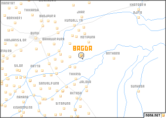
Bāgda (Rājasthān, India)Bāgda is a town in the Rājasthān region of India. An overview map of the region around Bāgda is displayed below.
regional and 3d topo map of Bāgda, India ::
Bāgda airports ::
The nearest airport is KTU - Kota, located 28.6 km south of Bāgda.
Other airports nearby include JAI - Jaipur (158.1 km north), UDR - Udaipur (205.0 km south west), Nearby towns ::
Lālpura (2.5km south west) //
Shivshakti ka Khera (2.7km west) //
Bardna (3.1km south west) //
Motīpura (4.0km north) //
Mātūndo (4.4km north west) //
Thīkrīd (4.7km south) //
Baldevpura (4.4km west) //
Kunwārti (4.7km west) //
Gordhanpura (5.2km north) //
Bālāpura (5.2km west) //
Bari Jāvti (5.7km north) //
Dayālpura (5.7km north) //
Saptīja (6.0km south) //
Dolara (5.7km west) //
Jaloda (6.3km south) //
Itoda (5.8km west) //
Raghunāthpura (6.6km north) //
Bhanvarda (6.3km south west) //
Anthara (6.3km east) //
Ganeshpura (7.2km north) //
Nanda (7.3km south) //
Līlera (7.2km south west) //
Jarkhoda (7.2km south west) //
Bahādurpura (6.8km north west) //
Nayāgaon (7.0km west) //
Kundallya (7.8km north) //
Nānakpuriya (7.1km west) //
Kotkhera (7.4km south west) //
Sāipura (7.9km north west) //
[all distances 'as the bird flies' and approximate] 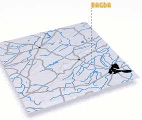 Places with similar names to Bāgda, India ::
Disclaimer :: Information on this page comes without warranty of any kind |
||
|
Where is Bāgda? Elevation and coordinates ::
Latitude (lat): 25°23'55"N Longitude (lon): 75°44'15"E
Elevation (approx.): 236m (map arrows pan, magnifying glasses zoom) |
||
|
Visiting Bāgda? Hotel/Accommodation ::
Book a hotel in Bāgda Travel Guide ::
Buy a travel guide for India rental cars ::
car rental offers GPS waypoint ::
download a GPX waypoint (PoI) of Bāgda for your GPS receiver
|
||