|
search place name
|
||
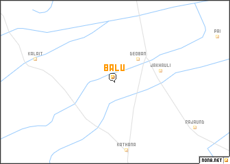
Bālu (Haryāna, India)Bālu is a town in the Haryāna region of India. An overview map of the region around Bālu is displayed below.
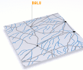
regional and 3d topo map of Bālu, India ::
Bālu airports ::
The nearest airport is IXC - Chandigarh, located 120.5 km north of Bālu.
Other airports nearby include LUH - Ludhiaha Ludhiana (139.4 km north), DEL - Delhi Indira Gandhi Intl (139.9 km south east), DED - Dehra Dun Dehradun (185.1 km east), LHE - Lahore Allama Iqbal Intl (280.2 km north west), Nearby towns ::
 Places with similar names to Bālu, India ::
Disclaimer :: Information on this page comes without warranty of any kind |
||
|
Where is Bālu? Elevation and coordinates ::
Latitude (lat): 29°39'0"N Longitude (lon): 76°22'0"E
Elevation (approx.): 237m (map arrows pan, magnifying glasses zoom) |
||
|
Visiting Bālu? Hotel/Accommodation ::
Book a hotel in Bālu Travel Guide ::
Buy a travel guide for India rental cars ::
car rental offers GPS waypoint ::
download a GPX waypoint (PoI) of Bālu for your GPS receiver
|
||