|
search place name
|
||
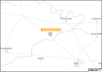
Bankhandi (Punjab, India)Bankhandi is a town in the Punjab region of India. An overview map of the region around Bankhandi is displayed below.
regional and 3d topo map of Bankhandi, India ::
Bankhandi airports ::
The nearest airport is LUH - Ludhiaha Ludhiana, located 83.3 km east of Bankhandi.
Other airports nearby include ATQ - Amritsar (93.8 km north), LHE - Lahore Allama Iqbal Intl (94.6 km north west), IXP - Pathankot (156.9 km north), IXC - Chandigarh (165.1 km east), Nearby towns ::
Kot Ïsa Khān (7.3km north east) //
[all distances 'as the bird flies' and approximate] 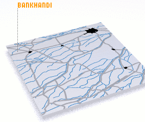 Places with similar names to Bankhandi, India ::
// Ban Khon To (TH)
// Ban Khuan (3) (TH)
// Ban Khuan Niat (TH)
// Ban Khuan Nut (TH)
// Ban Khuan Taeo (TH)
// Ban Khuan To (TH)
// Ban Khuan To (TH)
// Ban Khun Tae (TH)
// Ban Nai Khuan Tai (TH)
// Ban Khanat (LA)
Disclaimer :: Information on this page comes without warranty of any kind |
||
|
Where is Bankhandi? Elevation and coordinates ::
Latitude (lat): 30°54'0"N Longitude (lon): 75°5'0"E
Elevation (approx.): 212m (map arrows pan, magnifying glasses zoom) |
||
|
Visiting Bankhandi? Hotel/Accommodation ::
Book a hotel in Bankhandi Travel Guide ::
Buy a travel guide for India rental cars ::
car rental offers GPS waypoint ::
download a GPX waypoint (PoI) of Bankhandi for your GPS receiver
|
||