|
search place name
|
||
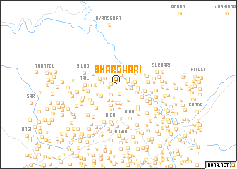
Bhargwāri (Himāchal Pradesh, India)Bhargwāri is a town in the Himāchal Pradesh region of India. An overview map of the region around Bhargwāri is displayed below.
regional and 3d topo map of Bhargwāri, India ::
Bhargwāri airports ::
The nearest airport is DED - Dehra Dun Dehradun, located 49.0 km north west of Bhargwāri.
Other airports nearby include PGH - Nainital Pantnagar (133.3 km south east), IXC - Chandigarh (192.9 km north west), DEL - Delhi Indira Gandhi Intl (215.9 km south west), KUU - Kulu Kullu Manali (253.0 km north west), Nearby towns ::
Kheni Kātal (1.0km west) //
Bandhli (1.2km north west) //
Silni (1.2km south east) //
Toli (1.5km north) //
Siālni (1.5km south) //
Marora Palla (1.4km east) //
Pulyāsu (1.5km west) //
Sarora (1.6km north east) //
Dhaniār (1.9km north) //
Surālgaon (1.9km south west) //
Naini (1.8km east) //
Marora Walla (2.0km east) //
Otind (2.1km north west) //
Mewār (2.3km west) //
Pītha (2.3km east) //
Pāt (2.7km south) //
Kyārd (2.9km south) //
Margaon (2.9km south) //
Barsūri (2.9km south east) //
Akhori (2.9km south west) //
Wargadi (2.7km west) //
Ulna (2.8km north east) //
Mangolīgaon (2.7km east) //
Bhilargaon (3.2km south) //
Kutli (2.9km south east) //
Jītugaon (3.0km south west) //
Gawālgaon (3.5km south) //
Bhalgaon (3.6km south) //
Pagāri (3.2km west) //
[all distances 'as the bird flies' and approximate] 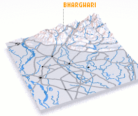 Places with similar names to Bhargwāri, India :: Disclaimer :: Information on this page comes without warranty of any kind |
||
|
Where is Bhargwāri? Elevation and coordinates ::
Latitude (lat): 29°58'55"N Longitude (lon): 78°37'45"E
Elevation (approx.): 957m (map arrows pan, magnifying glasses zoom) |
||
|
Visiting Bhargwāri? Hotel/Accommodation ::
Book a hotel in Bhargwāri Travel Guide ::
Buy a travel guide for India rental cars ::
car rental offers GPS waypoint ::
download a GPX waypoint (PoI) of Bhargwāri for your GPS receiver
|
||