|
search place name
|
||
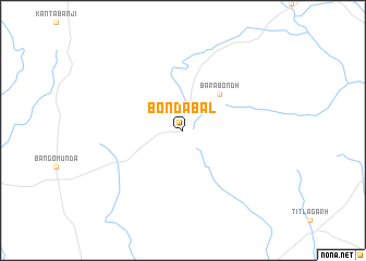
Bondabal (Orissa, India)Bondabal is a town in the Orissa region of India. An overview map of the region around Bondabal is displayed below.
regional and 3d topo map of Bondabal, India ::
Bondabal airports ::
The nearest airport is RPR - Raipur, located 161.1 km north west of Bondabal.
Other airports nearby include PAB - Bilaspur (201.9 km north west), RRK - Rourkela (277.8 km north east), Nearby towns ::
Barabondh (5.1km north east) //
[all distances 'as the bird flies' and approximate] 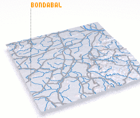 Places with similar names to Bondabal, India ::
// Band-e Bāl (IR)
// Benūt-e Bālā (IR)
// Bandabila (BD)
// Bene Dibele (CD)
// Bondobela (ID)
// Boundou Balé (SN)
// Bānda Bāla (PK)
// Bāndi Bāla (PK)
// Binda Beli (NG)
// Bonnétable (FR)
Disclaimer :: Information on this page comes without warranty of any kind |
||
|
Where is Bondabal? Elevation and coordinates ::
Latitude (lat): 20°23'0"N Longitude (lon): 83°2'0"E
Elevation (approx.): 262m (map arrows pan, magnifying glasses zoom) |
||
|
Visiting Bondabal? Hotel/Accommodation ::
Book a hotel in Bondabal Travel Guide ::
Buy a travel guide for India rental cars ::
car rental offers GPS waypoint ::
download a GPX waypoint (PoI) of Bondabal for your GPS receiver
|
||