|
search place name
|
||
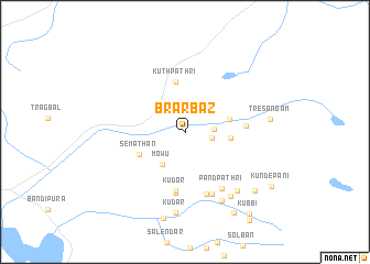
Brārbāz (Jammu and Kashmīr, India)Brārbāz is a town in the Jammu and Kashmīr region of India. An overview map of the region around Brārbāz is displayed below.
regional and 3d topo map of Brārbāz, India ::
Brārbāz airports ::
The nearest airport is SXR - Srinagar, located 55.5 km south of Brārbāz.
Other airports nearby include RAZ - Rawala Kot Rawalakot (114.5 km south west), MFG - Muzaffarabad (117.6 km west), GIL - Gilgit (163.8 km north), ISB - Islamabad Chaklala (182.4 km south west), Nearby towns ::
Chabotari (2.4km east) //
Choatar (2.4km east) //
Mowu (3.8km south west) //
Lab Kachāl (3.9km east) //
Khelan (3.9km east) //
Kuthpathri (5.2km north) //
Semathan (4.5km south west) //
Kudor (6.1km south) //
Khach (5.1km east) //
Hāpatnak (6.2km south) //
Mānarnār (6.6km south) //
Pandpathri (6.5km south east) //
Yāri Pathri (6.7km south) //
Ishrantār (7.6km south east) //
Gugurwāīn (7.5km south east) //
Chhitrār (7.4km south east) //
Kudar (8.2km south) //
Tresangam (7.2km east) //
Jaban (9.0km south) //
Dādan (8.4km south east) //
Soenār (9.1km south east) //
Kundepāni (9.1km south east) //
Kubbi (9.9km south east) //
[all distances 'as the bird flies' and approximate]  Places with similar names to Brārbāz, India :: Disclaimer :: Information on this page comes without warranty of any kind |
||
|
Where is Brārbāz? Elevation and coordinates ::
Latitude (lat): 34°29'15"N Longitude (lon): 74°46'30"E
Elevation (approx.): 2773m (map arrows pan, magnifying glasses zoom) |
||
|
Visiting Brārbāz? Hotel/Accommodation ::
Book a hotel in Brārbāz Travel Guide ::
Buy a travel guide for India rental cars ::
car rental offers GPS waypoint ::
download a GPX waypoint (PoI) of Brārbāz for your GPS receiver
|
||