|
search place name
|
||
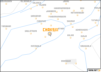
Chak Six (Rājasthān, India)Chak Six is a town in the Rājasthān region of India. An overview map of the region around Chak Six is displayed below.
regional and 3d topo map of Chak Six, India ::
Chak Six airports ::
The nearest airport is LYP - Faisalabad Intl, located 169.0 km north west of Chak Six.
Other airports nearby include LHE - Lahore Allama Iqbal Intl (177.5 km north), ATQ - Amritsar (211.4 km north east), Nearby towns ::
Chak Seven (1.8km west) //
Rohirānwāli Rāthān (2.3km north east) //
Rohirānwāli Sathārān (4.0km north) //
Chak Five (5.5km north west) //
Khairpur Madera (6.8km north) //
Mirzāwāla (6.6km south west) //
Mushkin (7.3km north) //
Daulatpura (6.4km west) //
Kāliān (6.4km east) //
Jhambera (8.3km north) //
Dangoriān (8.0km north west) //
Fatuhi Labāna (7.9km north east) //
Shivpur (8.0km north east) //
[all distances 'as the bird flies' and approximate] 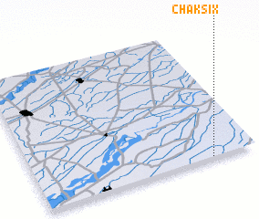 Places with similar names to Chak Six, India ::
Disclaimer :: Information on this page comes without warranty of any kind |
||
|
Where is Chak Six? Elevation and coordinates ::
Latitude (lat): 30°0'30"N Longitude (lon): 73°47'55"E
Elevation (approx.): 175m (map arrows pan, magnifying glasses zoom) |
||
|
Visiting Chak Six? Hotel/Accommodation ::
Book a hotel in Chak Six Travel Guide ::
Buy a travel guide for India rental cars ::
car rental offers GPS waypoint ::
download a GPX waypoint (PoI) of Chak Six for your GPS receiver
|
||