|
search place name
|
||
Chānchiāra (West Bengal, India)Chānchiāra is a town in the West Bengal region of India. An overview map of the region around Chānchiāra is displayed below.
regional and 3d topo map of Chānchiāra, India ::

Chānchiāra airports ::
The nearest airport is CCU - Calcutta Netaji Subhash Chandra Bose Intl, located 73.8 km north east of Chānchiāra.
Other airports nearby include JSR - Jessore (166.5 km north east), IXW - Jamshedpur (174.9 km west), DBO - Dhanbad (215.0 km north west), IRD - Ishurdi (235.5 km north east), Nearby towns ::
Raghunāthbāri (1.7km west) //
Hākala (7.8km north east) //
[all distances 'as the bird flies' and approximate] 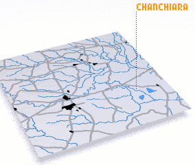 Places with similar names to Chānchiāra, India ::
// Shanshūr (EG)
// Chenchura (BD)
// Shāntiāra (BD)
// Chinchorro (CL)
// Chunchura (IN)
// Chan Chirāgh (PK)
// Chhanni Chūr (PK)
// Chinchero (PE)
// Chinchorro (VE)
// Shinshār (SY)
Disclaimer :: Information on this page comes without warranty of any kind |
||
|
Where is Chānchiāra? Elevation and coordinates ::
Latitude (lat): 22°22'0"N Longitude (lon): 87°48'0"E
Elevation (approx.): 4m (map arrows pan, magnifying glasses zoom) |
||
|
Visiting Chānchiāra? Hotel/Accommodation ::
Book a hotel in Chānchiāra Travel Guide ::
Buy a travel guide for India rental cars ::
car rental offers GPS waypoint ::
download a GPX waypoint (PoI) of Chānchiāra for your GPS receiver
|
||