|
search place name
|
||
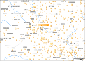
Chiahua (Jammu and Kashmīr, India)Chiahua is a town in the Jammu and Kashmīr region of India. An overview map of the region around Chiahua is displayed below.
regional and 3d topo map of Chiahua, India ::
Chiahua airports ::
The nearest airport is RAZ - Rawala Kot Rawalakot, located 70.3 km north of Chiahua.
Other airports nearby include IXJ - Jammu (95.7 km south east), ISB - Islamabad Chaklala (98.4 km north west), SXR - Srinagar (104.3 km north east), MFG - Muzaffarabad (130.7 km north west), Nearby towns ::
Parokhin (0.8km west) //
Pogla (1.1km south) //
Nekpur (1.1km north) //
Pandār (1.7km north) //
Triot (1.5km south east) //
Dharia (1.5km east) //
Sadlun (1.9km south east) //
Jhangar Dharmsāl (1.9km north west) //
Aniwās (1.9km west) //
Banjni (2.0km north west) //
Ser (2.7km north) //
Talkea (2.3km west) //
Jhangar Dharms (2.7km south west) //
Kaniāt (3.0km north) //
Kanyetti (3.1km south) //
Thāti (2.7km east) //
Mai Mangla (3.3km south) //
Mohra (2.9km east) //
Mohra (3.4km north) //
Girāri (3.3km north west) //
Band Mohra (2.9km east) //
Jijot (3.4km north east) //
Nāla (3.1km west) //
Mai Mangla (3.7km south) //
Saria (3.2km west) //
Manglai Gāla (3.9km south) //
Gerri (3.4km north west) //
Amarli Gala (3.9km south east) //
Pukharn (3.5km north east) //
[all distances 'as the bird flies' and approximate] 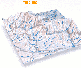 Places with similar names to Chiahua, India ::
Disclaimer :: Information on this page comes without warranty of any kind |
||
|
Where is Chiahua? Elevation and coordinates ::
Latitude (lat): 33°15'25"N Longitude (lon): 74°4'0"E
Elevation (approx.): 861m (map arrows pan, magnifying glasses zoom) |
||
|
Visiting Chiahua? Hotel/Accommodation ::
Book a hotel in Chiahua Travel Guide ::
Buy a travel guide for India rental cars ::
car rental offers GPS waypoint ::
download a GPX waypoint (PoI) of Chiahua for your GPS receiver
|
||