|
search place name
|
||
Dāmnagar (Gujarāt, India)Dāmnagar is a town in the Gujarāt region of India. An overview map of the region around Dāmnagar is displayed below.
regional and 3d topo map of Dāmnagar, India ::

Dāmnagar airports ::
The nearest airport is BHU - Bhaunagar Bhavnagar, located 69.4 km east of Dāmnagar.
Other airports nearby include RAJ - Rajkot (101.7 km north west), IXK - Keshod (135.9 km west), STV - Surat (142.6 km south east), JGA - Jamnagar (176.9 km north west), Nearby towns ::
[all distances 'as the bird flies' and approximate] 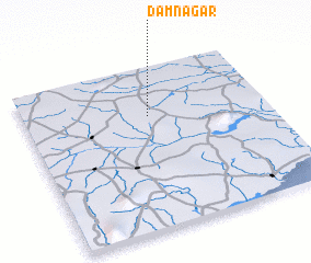 Places with similar names to Dāmnagar, India ::
// Temboh Hangar (MY)
// Temengor (MY)
// Tamankourou (BJ)
// Tambo Negro (EC)
// Río Tamanique (SV)
// Damunagare (LK)
// Dambanguiro (NE)
// Dioumanegar (SN)
// Deh Mangrio (PK)
// Timbangor (NG)
Disclaimer :: Information on this page comes without warranty of any kind |
||
|
Where is Dāmnagar? Elevation and coordinates ::
Latitude (lat): 21°42'0"N Longitude (lon): 71°31'0"E
Elevation (approx.): 92m (map arrows pan, magnifying glasses zoom) |
||
|
Visiting Dāmnagar? Hotel/Accommodation ::
Book a hotel in Dāmnagar Travel Guide ::
Buy a travel guide for India rental cars ::
car rental offers GPS waypoint ::
download a GPX waypoint (PoI) of Dāmnagar for your GPS receiver
|
||