|
search place name
|
||
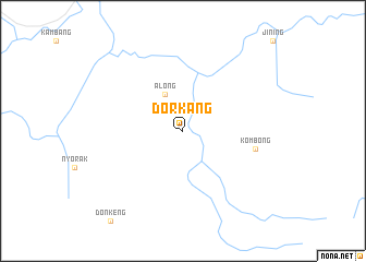
Dorkang (India)Dorkang is a town in India. An overview map of the region around Dorkang is displayed below.
regional and 3d topo map of Dorkang, India ::
Dorkang airports ::
The nearest airport is MOH - Mohanbari Dibrugarh, located 75.6 km south of Dorkang.
Other airports nearby include IXI - Lilabari (114.9 km south west), JRH - Jorhat (166.6 km south), Nearby towns ::
 Places with similar names to Dorkang, India ::
// Turkannakh (RU)
// Tracking (DE)
// Dryganek (PL)
// Targanica (PL)
// Dračanica (BA)
// Durukaynak (TR)
// Tarukenga (NZ)
// Dragunka (RU)
// Dragunka (RU)
// Dragunka (RU)
Disclaimer :: Information on this page comes without warranty of any kind |
||
|
Where is Dorkang? Elevation and coordinates ::
Latitude (lat): 28°8'0"N Longitude (lon): 94°47'0"E
Elevation (approx.): 379m (map arrows pan, magnifying glasses zoom) |
||
|
Visiting Dorkang? Hotel/Accommodation ::
Book a hotel in Dorkang Travel Guide ::
Buy a travel guide for India rental cars ::
car rental offers GPS waypoint ::
download a GPX waypoint (PoI) of Dorkang for your GPS receiver
|
||