|
search place name
|
||
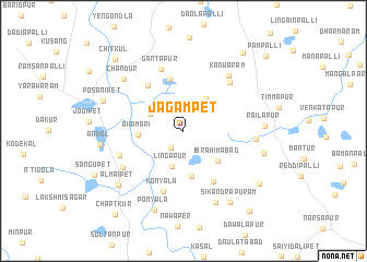
Jagampet (Andhra Pradesh, India)Jagampet is a town in the Andhra Pradesh region of India. An overview map of the region around Jagampet is displayed below.
regional and 3d topo map of Jagampet, India ::
Jagampet airports ::
The nearest airport is HYD - Hyderabad, located 53.0 km south east of Jagampet.
Nearby towns ::
Sirpur (2.1km south west) //
Fyzābād (3.7km north west) //
Lingāpur (3.8km south) //
Raikanapalli (3.9km north east) //
Salābatpur (4.1km north east) //
Aiiamari (4.4km west) //
Ibrahimābād (4.6km south east) //
Govindrajpalli (4.7km south) //
Sompet (5.5km north) //
Chilapchad (5.8km north west) //
Nāgaldeopalli (5.9km south east) //
Konyāla (6.6km south) //
Gantāpur (6.6km north) //
Muhammadnagar (6.7km north east) //
Potgal Sāmal (6.8km west) //
Sandampet (7.0km south west) //
Kanwaram (7.2km north east) //
Venkatraopet (7.2km east) //
Brahmanguda (7.9km south east) //
Chandūr (7.8km north west) //
Railapur (7.9km east) //
Tunki (8.1km east) //
Almaipet (8.4km south west) //
Andol (8.2km west) //
Ponyāla (8.6km south) //
Sikandrapuram (8.6km south east) //
Posānipet (8.4km west) //
Chapalturti (9.2km south east) //
Kaudpalli (9.8km north east) //
[all distances 'as the bird flies' and approximate] 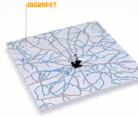 Places with similar names to Jagampet, India ::
// Jaggampeta (IN)
Disclaimer :: Information on this page comes without warranty of any kind |
||
|
Where is Jagampet? Elevation and coordinates ::
Latitude (lat): 17°49'33"N Longitude (lon): 78°9'14"E
Elevation (approx.): 520m (map arrows pan, magnifying glasses zoom) |
||
|
Visiting Jagampet? Hotel/Accommodation ::
Book a hotel in Jagampet Travel Guide ::
Buy a travel guide for India rental cars ::
car rental offers GPS waypoint ::
download a GPX waypoint (PoI) of Jagampet for your GPS receiver
|
||