|
search place name
|
||
Jhuniar (Punjab, India)Jhuniar is a town in the Punjab region of India. An overview map of the region around Jhuniar is displayed below.
regional and 3d topo map of Jhuniar, India ::

Jhuniar airports ::
The nearest airport is LUH - Ludhiaha Ludhiana, located 128.8 km north east of Jhuniar.
Other airports nearby include IXC - Chandigarh (167.9 km north east), LHE - Lahore Allama Iqbal Intl (209.6 km north west), ATQ - Amritsar (216.4 km north), DEL - Delhi Indira Gandhi Intl (219.7 km south east), Nearby towns ::
Dalewāla (5.2km east) //
Fatta Māluka (7.4km south west) //
[all distances 'as the bird flies' and approximate] 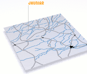 Places with similar names to Jhuniar, India ::
// Jhanroi (PK)
// João Honório (BR)
Disclaimer :: Information on this page comes without warranty of any kind |
||
|
Where is Jhuniar? Elevation and coordinates ::
Latitude (lat): 29°49'0"N Longitude (lon): 75°21'0"E
Elevation (approx.): 214m (map arrows pan, magnifying glasses zoom) |
||
|
Visiting Jhuniar? Hotel/Accommodation ::
Book a hotel in Jhuniar Travel Guide ::
Buy a travel guide for India rental cars ::
car rental offers GPS waypoint ::
download a GPX waypoint (PoI) of Jhuniar for your GPS receiver
|
||