|
search place name
|
||
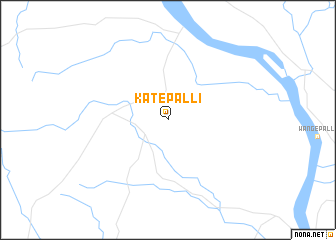
Kātepalli (Andhra Pradesh, India)Kātepalli is a town in the Andhra Pradesh region of India. An overview map of the region around Kātepalli is displayed below.
regional and 3d topo map of Kātepalli, India ::
Kātepalli airports ::
The nearest airport is NAG - Nagpur Dr Ambedkar Intl, located 201.2 km north west of Kātepalli.
Other airports nearby include HYD - Hyderabad (262.4 km south west), RPR - Raipur (277.5 km north east), Nearby towns ::
[all distances 'as the bird flies' and approximate] 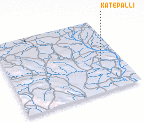 Places with similar names to Kātepalli, India ::
// Cadapli (PH)
// Ca Tiepolo (IT)
// Cotu Paliu (RO)
// Kāet Pāuli (BD)
// Gatapoula (BF)
// Cutupil (CO)
// Katupuile (CD)
// Gudipalle (IN)
// Gudipalli (IN)
// Kaudpalli (IN)
Disclaimer :: Information on this page comes without warranty of any kind |
||
|
Where is Kātepalli? Elevation and coordinates ::
Latitude (lat): 19°26'0"N Longitude (lon): 79°50'0"E
Elevation (approx.): 156m (map arrows pan, magnifying glasses zoom) |
||
|
Visiting Kātepalli? Hotel/Accommodation ::
Book a hotel in Kātepalli Travel Guide ::
Buy a travel guide for India rental cars ::
car rental offers GPS waypoint ::
download a GPX waypoint (PoI) of Kātepalli for your GPS receiver
|
||