|
search place name
|
||
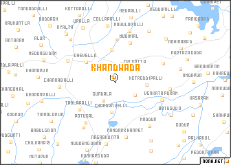
Khāndwāda (Andhra Pradesh, India)Khāndwāda is a town in the Andhra Pradesh region of India. An overview map of the region around Khāndwāda is displayed below.
regional and 3d topo map of Khāndwāda, India ::
Khāndwāda airports ::
The nearest airport is HYD - Hyderabad, located 36.5 km north east of Khāndwāda.
Nearby towns ::
Palagutta (1.3km north) //
Gundāla (3.5km south west) //
Nāgalpalli (3.7km south east) //
Talkatta (3.9km north east) //
Chandanvelli (4.9km south) //
Ketreddipalli (4.8km east) //
Malkāpur (5.3km north) //
Chevella (5.6km north west) //
Mudimiāl (6.9km north) //
Kummera (7.0km north) //
Tādlapalli (7.1km south west) //
Venkatāpuram (7.7km east) //
Potugal (8.0km south west) //
Kankamāmidi (8.1km north east) //
Dāmarīgidda (8.2km north west) //
Rāwulapalli (8.6km north) //
Dosuwāda (8.6km east) //
Maddūr (8.8km south east) //
Sitārāmpur (8.9km south west) //
Nāmdārkhānpet (9.0km south) //
Elkaguda (9.8km north east) //
Rāmannaguda (9.9km north west) //
Ūralla (10.2km north west) //
Pedda Mangaiaram (10.6km north east) //
Nyālta (10.9km north west) //
[all distances 'as the bird flies' and approximate] 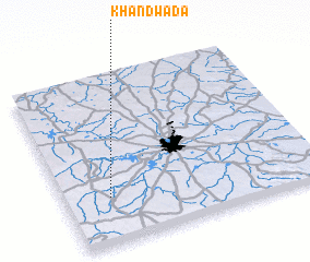 Places with similar names to Khāndwāda, India :: Disclaimer :: Information on this page comes without warranty of any kind |
||
|
Where is Khāndwāda? Elevation and coordinates ::
Latitude (lat): 17°16'36"N Longitude (lon): 78°10'40"E
Elevation (approx.): 599m (map arrows pan, magnifying glasses zoom) |
||
|
Visiting Khāndwāda? Hotel/Accommodation ::
Book a hotel in Khāndwāda Travel Guide ::
Buy a travel guide for India rental cars ::
car rental offers GPS waypoint ::
download a GPX waypoint (PoI) of Khāndwāda for your GPS receiver
|
||