|
search place name
|
||
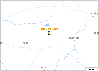
Kharkari (Rājasthān, India)Kharkari is a town in the Rājasthān region of India. An overview map of the region around Kharkari is displayed below.
regional and 3d topo map of Kharkari, India ::
Kharkari airports ::
The nearest airport is JAI - Jaipur, located 111.1 km east of Kharkari.
Other airports nearby include JOH - Jodhpur (173.1 km west), KTU - Kota (208.7 km south east), Nearby towns ::
[all distances 'as the bird flies' and approximate] 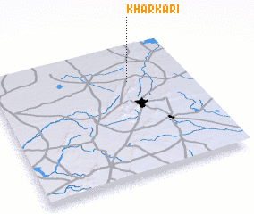 Places with similar names to Kharkari, India ::
// Khargora (RU)
// Khairāgarh (IN)
// Khairāgarh (IN)
// Kohar Garī (IN)
// Khar Garū (IR)
// Khargārai (PK)
// Khargārai (PK)
// Kharkar (PK)
// Kharkārai (PK)
// Khurkera (PK)
Disclaimer :: Information on this page comes without warranty of any kind |
||
|
Where is Kharkari? Elevation and coordinates ::
Latitude (lat): 26°44'0"N Longitude (lon): 74°42'0"E
Elevation (approx.): 448m (map arrows pan, magnifying glasses zoom) |
||
|
Visiting Kharkari? Hotel/Accommodation ::
Book a hotel in Kharkari Travel Guide ::
Buy a travel guide for India rental cars ::
car rental offers GPS waypoint ::
download a GPX waypoint (PoI) of Kharkari for your GPS receiver
|
||