|
search place name
|
||
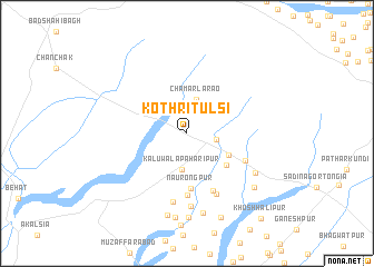
Kothri Tulsi (Uttar Pradesh, India)Kothri Tulsi is a town in the Uttar Pradesh region of India. An overview map of the region around Kothri Tulsi is displayed below.
regional and 3d topo map of Kothri Tulsi, India ::
Kothri Tulsi airports ::
The nearest airport is DED - Dehra Dun Dehradun, located 39.9 km east of Kothri Tulsi.
Other airports nearby include IXC - Chandigarh (106.4 km north west), LUH - Ludhiaha Ludhiana (187.7 km west), KUU - Kulu Kullu Manali (192.3 km north), DEL - Delhi Indira Gandhi Intl (194.8 km south), Nearby towns ::
Kālūwāli Tongia (2.6km east) //
Chamārla Rao (3.5km north) //
Kālūwāla Pahārīpur (3.6km south) //
Chandīgher (4.2km south east) //
Bārūgarh (4.7km south east) //
Naurongpur (5.6km south) //
Abdullānpur (6.1km south) //
Kurlīkhera (6.1km south) //
Shāhjahānpur (5.8km south east) //
Chānchak (6.6km south east) //
Rahīmpur (7.0km south) //
Abdullānpur (7.3km south) //
Fatehpur Peliyon (7.1km south east) //
Gabli (8.1km south) //
Jhīnwarher (8.4km south) //
Jānīpur (8.4km south) //
Hamīrpur (8.5km south) //
Peliyon Khurd (8.0km south east) //
Santpura (8.9km south) //
Khushhālipur (10.7km south east) //
[all distances 'as the bird flies' and approximate] 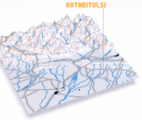 Places with similar names to Kothri Tulsi, India :: Disclaimer :: Information on this page comes without warranty of any kind |
||
|
Where is Kothri Tulsi? Elevation and coordinates ::
Latitude (lat): 30°13'30"N Longitude (lon): 77°46'6"E
Elevation (approx.): 405m (map arrows pan, magnifying glasses zoom) |
||
|
Visiting Kothri Tulsi? Hotel/Accommodation ::
Book a hotel in Kothri Tulsi Travel Guide ::
Buy a travel guide for India rental cars ::
car rental offers GPS waypoint ::
download a GPX waypoint (PoI) of Kothri Tulsi for your GPS receiver
|
||