|
search place name
|
||
Lakhpat (Gujarāt, India)Lakhpat is a town in the Gujarāt region of India. An overview map of the region around Lakhpat is displayed below.
regional and 3d topo map of Lakhpat, India ::

Lakhpat airports ::
The nearest airport is BHJ - Bhuj, located 107.8 km south east of Lakhpat.
Other airports nearby include BDN - Talhar (113.7 km north), IXY - Kandla (155.5 km south east), JGA - Jamnagar (195.5 km south east), KHI - Karachi Jinnah Intl (204.1 km north west), Nearby towns ::
[all distances 'as the bird flies' and approximate] 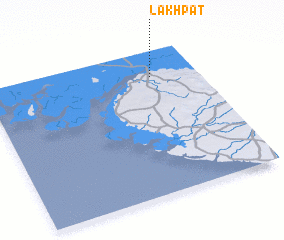 Places with similar names to Lakhpat, India ::
// Luuk Pataw (PH)
// Lockpit (US)
// La Copita (MX)
// Lougué Potié (MR)
// La Capota (HN)
// Llucapata (PE)
// La Cupata (VE)
// Likpata (NG)
// Lagoa Páti (MZ)
// Laquiputo (BO)
Disclaimer :: Information on this page comes without warranty of any kind |
||
|
Where is Lakhpat? Elevation and coordinates ::
Latitude (lat): 23°49'0"N Longitude (lon): 68°47'0"E
Elevation (approx.): 26m (map arrows pan, magnifying glasses zoom) |
||
|
Visiting Lakhpat? Hotel/Accommodation ::
Book a hotel in Lakhpat Travel Guide ::
Buy a travel guide for India rental cars ::
car rental offers GPS waypoint ::
download a GPX waypoint (PoI) of Lakhpat for your GPS receiver
|
||