|
search place name
|
||
Lāmpolai (Rājasthān, India)Lāmpolai is a town in the Rājasthān region of India. An overview map of the region around Lāmpolai is displayed below.
regional and 3d topo map of Lāmpolai, India ::

Lāmpolai airports ::
The nearest airport is JOH - Jodhpur, located 121.5 km west of Lāmpolai.
Other airports nearby include JAI - Jaipur (163.2 km east), KTU - Kota (234.5 km south east), Nearby towns ::
[all distances 'as the bird flies' and approximate] 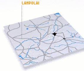 Places with similar names to Lāmpolai, India ::
// Lampilla (CU)
// Lampaolo (MG)
// La Amapola (CO)
// La Amapola (CO)
// La Amapola (CO)
// Lompole (CD)
// Lāmba Pīal (IN)
// Limapuluh (ID)
// Lampol (GH)
// Lampol (GH)
Disclaimer :: Information on this page comes without warranty of any kind |
||
|
Where is Lāmpolai? Elevation and coordinates ::
Latitude (lat): 26°39'0"N Longitude (lon): 74°11'0"E
Elevation (approx.): 330m (map arrows pan, magnifying glasses zoom) |
||
|
Visiting Lāmpolai? Hotel/Accommodation ::
Book a hotel in Lāmpolai Travel Guide ::
Buy a travel guide for India rental cars ::
car rental offers GPS waypoint ::
download a GPX waypoint (PoI) of Lāmpolai for your GPS receiver
|
||