|
search place name
|
||
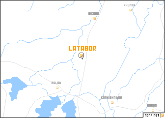
Lātābor (Chhattīsgarh, India)Lātābor is a town in the Chhattīsgarh region of India. An overview map of the region around Lātābor is displayed below.
regional and 3d topo map of Lātābor, India ::
Lātābor airports ::
The nearest airport is RPR - Raipur, located 66.3 km north east of Lātābor.
Other airports nearby include PAB - Bilaspur (159.7 km north east), Nearby towns ::
Balod (8.4km south west) //
[all distances 'as the bird flies' and approximate] 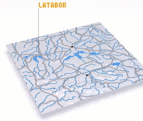 Places with similar names to Lātābor, India ::
// Leuteboro (PH)
// Lutobory (PL)
// Lodebar (US)
// Lotābāria (BD)
// La Adobera (GT)
// Litoboř (CZ)
// Ledbury (GB)
// Lait Beurré (BE)
Disclaimer :: Information on this page comes without warranty of any kind |
||
|
Where is Lātābor? Elevation and coordinates ::
Latitude (lat): 20°47'19"N Longitude (lon): 81°15'23"E
Elevation (approx.): 320m (map arrows pan, magnifying glasses zoom) |
||
|
Visiting Lātābor? Hotel/Accommodation ::
Book a hotel in Lātābor Travel Guide ::
Buy a travel guide for India rental cars ::
car rental offers GPS waypoint ::
download a GPX waypoint (PoI) of Lātābor for your GPS receiver
|
||