|
search place name
|
||
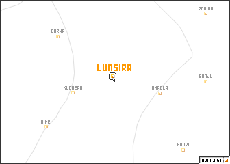
Lunsira (Rājasthān, India)Lunsira is a town in the Rājasthān region of India. An overview map of the region around Lunsira is displayed below.
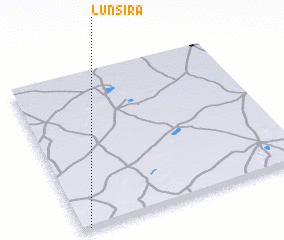
regional and 3d topo map of Lunsira, India ::
Lunsira airports ::
The nearest airport is JOH - Jodhpur, located 128.4 km south west of Lunsira.
Other airports nearby include JAI - Jaipur (177.8 km east), KTU - Kota (272.8 km south east), Nearby towns ::
 Places with similar names to Lunsira, India ::
// Lansar (MA)
// Lansyr' (RU)
// Lancer (US)
// La Inesera (CO)
// Lanacera (CO)
// Lunsar (IN)
// Linséré (GN)
// Linsoro (GN)
// Lonssir (GN)
// Laaw Nasarow (SO)
Disclaimer :: Information on this page comes without warranty of any kind |
||
|
Where is Lunsira? Elevation and coordinates ::
Latitude (lat): 27°0'0"N Longitude (lon): 74°2'0"E
Elevation (approx.): 304m (map arrows pan, magnifying glasses zoom) |
||
|
Visiting Lunsira? Hotel/Accommodation ::
Book a hotel in Lunsira Travel Guide ::
Buy a travel guide for India rental cars ::
car rental offers GPS waypoint ::
download a GPX waypoint (PoI) of Lunsira for your GPS receiver
|
||