|
search place name
|
||
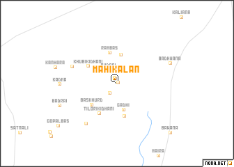
Māhi Kalān (Haryāna, India)Māhi Kalān is a town in the Haryāna region of India. An overview map of the region around Māhi Kalān is displayed below.
regional and 3d topo map of Māhi Kalān, India ::
Māhi Kalān airports ::
The nearest airport is DEL - Delhi Indira Gandhi Intl, located 98.4 km east of Māhi Kalān.
Other airports nearby include JAI - Jaipur (182.9 km south), AGR - Agra (232.6 km south east), Nearby towns ::
Māhi Khurd (0.2km east) //
Naurangāwās (1.8km south west) //
Rudrol (2.4km north west) //
Gadhi (4.3km south) //
Gokal (4.6km north) //
Rāmbās (5.0km north) //
Bās Khurd (4.9km south west) //
Khubi ki Dhāni (4.8km north west) //
Khudāna (5.3km south) //
Tilori ki Dhāni (5.4km south west) //
Dagroli (6.9km north west) //
Dhāni Gujarānwāli (7.8km south west) //
Badhwāna (8.2km north east) //
Bawāna (10.9km south east) //
[all distances 'as the bird flies' and approximate] 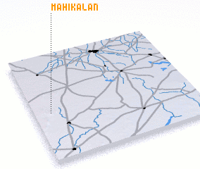 Places with similar names to Māhi Kalān, India ::
// Mahe Kalān (PK)
Disclaimer :: Information on this page comes without warranty of any kind |
||
|
Where is Māhi Kalān? Elevation and coordinates ::
Latitude (lat): 28°27'15"N Longitude (lon): 76°6'23"E
Elevation (approx.): 254m (map arrows pan, magnifying glasses zoom) |
||
|
Visiting Māhi Kalān? Hotel/Accommodation ::
Book a hotel in Māhi Kalān Travel Guide ::
Buy a travel guide for India rental cars ::
car rental offers GPS waypoint ::
download a GPX waypoint (PoI) of Māhi Kalān for your GPS receiver
|
||