|
search place name
|
||
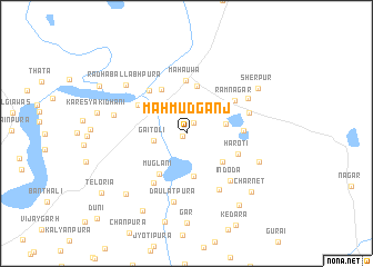
Mahmūdganj (Rājasthān, India)Mahmūdganj is a town in the Rājasthān region of India. An overview map of the region around Mahmūdganj is displayed below.
regional and 3d topo map of Mahmūdganj, India ::
Mahmūdganj airports ::
The nearest airport is KTU - Kota, located 88.7 km south of Mahmūdganj.
Other airports nearby include JAI - Jaipur (97.9 km north), UDR - Udaipur (232.7 km south west), Nearby towns ::
Dhuān Bari (0.4km south west) //
Thali (1.2km north east) //
Gaitoli (3.1km west) //
Kishanpura (3.6km east) //
Dhuān Chhoti (4.3km south) //
Lqbālganj (4.3km south east) //
Alīpura (4.8km north) //
Muglāni (4.8km south west) //
Bharna (5.0km north west) //
Mahauwa (5.3km north) //
Hāroti (5.1km south east) //
Davalya (5.2km north west) //
Jagatya (5.4km north west) //
Fārūknagar (5.2km east) //
Rāmnagar (5.4km north east) //
Maglāna (5.8km south west) //
Indoda (6.2km south east) //
Kalandarpura (6.4km south east) //
Sānkhna (6.0km east) //
Daulatpura (7.0km south) //
Rājnagar (6.6km north east) //
Chamāran ka Jhonpare (6.8km west) //
Rādhāballabhpura (7.3km north west) //
Gairoti (7.2km south east) //
Sherpur (7.9km north east) //
Bās Kheria (8.2km south west) //
Chārnet (8.2km south east) //
Digāria (8.7km south west) //
Kotra (8.7km south east) //
[all distances 'as the bird flies' and approximate] 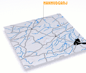 Places with similar names to Mahmūdganj, India :: Disclaimer :: Information on this page comes without warranty of any kind |
||
|
Where is Mahmūdganj? Elevation and coordinates ::
Latitude (lat): 25°56'52"N Longitude (lon): 75°41'2"E
Elevation (approx.): 302m (map arrows pan, magnifying glasses zoom) |
||
|
Visiting Mahmūdganj? Hotel/Accommodation ::
Book a hotel in Mahmūdganj Travel Guide ::
Buy a travel guide for India rental cars ::
car rental offers GPS waypoint ::
download a GPX waypoint (PoI) of Mahmūdganj for your GPS receiver
|
||