|
search place name
|
||
Maur Kalān (Punjab, India)Maur Kalān is a town in the Punjab region of India. An overview map of the region around Maur Kalān is displayed below.
regional and 3d topo map of Maur Kalān, India ::

Maur Kalān airports ::
The nearest airport is LUH - Ludhiaha Ludhiana, located 108.9 km north east of Maur Kalān.
Other airports nearby include IXC - Chandigarh (161.7 km north east), LHE - Lahore Allama Iqbal Intl (178.8 km north west), ATQ - Amritsar (185.4 km north), DEL - Delhi Indira Gandhi Intl (246.3 km south east), Nearby towns ::
Maur (0.0km north) //
Maur Khurd (0.0km north) //
Kotli Maurān (7.4km south east) //
Bālānwāli (8.8km north west) //
[all distances 'as the bird flies' and approximate] 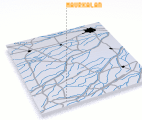 Places with similar names to Maur Kalān, India ::
// Marraglione (IT)
// Mārkalne (LV)
// Mărculeni (RO)
// Marcaláin (ES)
// Marakulino (RU)
// Mirkilin (TD)
// Maira Kalān (PK)
// Maira Kalān (PK)
// Māri Kalān (PK)
// Mirok Kalān (PK)
Disclaimer :: Information on this page comes without warranty of any kind |
||
|
Where is Maur Kalān? Elevation and coordinates ::
Latitude (lat): 30°5'0"N Longitude (lon): 75°15'0"E
Elevation (approx.): 219m (map arrows pan, magnifying glasses zoom) |
||
|
Visiting Maur Kalān? Hotel/Accommodation ::
Book a hotel in Maur Kalān Travel Guide ::
Buy a travel guide for India rental cars ::
car rental offers GPS waypoint ::
download a GPX waypoint (PoI) of Maur Kalān for your GPS receiver
|
||