|
search place name
|
||
Nāmapur (Uttar Pradesh, India)Nāmapur is a town in the Uttar Pradesh region of India. An overview map of the region around Nāmapur is displayed below.
regional and 3d topo map of Nāmapur, India ::

Nāmapur airports ::
The nearest airport is VNS - Varanasi, located 5.8 km north east of Nāmapur.
Other airports nearby include IXD - Allahabad (109.0 km west), YOP - Gorakhpur (159.7 km north east), TNI - Satna (219.5 km south west), LKO - Lucknow (243.6 km north west), Nearby towns ::
Majhbhitia (0.0km north) //
Barāgaon (1.9km north) //
Saira (2.5km south east) //
Tikri Kalān (3.3km east) //
Pura Raghunāth (6.2km north east) //
Mangāri (7.7km north east) //
[all distances 'as the bird flies' and approximate] 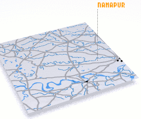 Places with similar names to Nāmapur, India ::
// Nõmmepere (EE)
// Nimpāra (BD)
// Nimpouro (BF)
// Niompourou (BF)
// Nampur (IN)
// Nīma Parao (PK)
// Namp'o-ri (KR)
// Namparia (MZ)
// Namparra (MZ)
// Namp'o-ri (KP)
Disclaimer :: Information on this page comes without warranty of any kind |
||
|
Where is Nāmapur? Elevation and coordinates ::
Latitude (lat): 25°25'0"N Longitude (lon): 82°49'0"E
Elevation (approx.): 81m (map arrows pan, magnifying glasses zoom) |
||
|
Visiting Nāmapur? Hotel/Accommodation ::
Book a hotel in Nāmapur Travel Guide ::
Buy a travel guide for India rental cars ::
car rental offers GPS waypoint ::
download a GPX waypoint (PoI) of Nāmapur for your GPS receiver
|
||