|
search place name
|
||
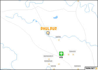
Phūlpur (Uttar Pradesh, India)Phūlpur is a town in the Uttar Pradesh region of India. An overview map of the region around Phūlpur is displayed below.
regional and 3d topo map of Phūlpur, India ::
Phūlpur airports ::
The nearest airport is VNS - Varanasi, located 8.3 km south east of Phūlpur.
Other airports nearby include IXD - Allahabad (109.2 km west), YOP - Gorakhpur (149.6 km north east), TNI - Satna (224.4 km south west), BWA - Bhairawa Bhairahawa (228.3 km north), Nearby towns ::
Sarāi (3.8km south east) //
Pura Raghunāth (9.0km south east) //
Mangāri (10.0km south east) //
[all distances 'as the bird flies' and approximate] 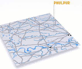 Places with similar names to Phūlpur, India ::
// Vulpera (CH)
// Valea Oprii (RO)
// Fulpur (BD)
// Phulpur (BD)
// Phūlpur (IN)
// Phūlpur (IN)
// Vālpārai (IN)
// Velāpur (IN)
// Valle Perú (MX)
// Ghail Pur (PK)
Disclaimer :: Information on this page comes without warranty of any kind |
||
|
Where is Phūlpur? Elevation and coordinates ::
Latitude (lat): 25°31'0"N Longitude (lon): 82°49'0"E
Elevation (approx.): 84m (map arrows pan, magnifying glasses zoom) |
||
|
Visiting Phūlpur? Hotel/Accommodation ::
Book a hotel in Phūlpur Travel Guide ::
Buy a travel guide for India rental cars ::
car rental offers GPS waypoint ::
download a GPX waypoint (PoI) of Phūlpur for your GPS receiver
|
||