|
search place name
|
||
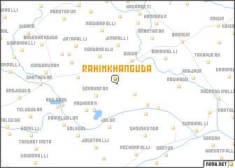
Rāhīm Khānguda (Andhra Pradesh, India)Rāhīm Khānguda is a town in the Andhra Pradesh region of India. An overview map of the region around Rāhīm Khānguda is displayed below.
regional and 3d topo map of Rāhīm Khānguda, India ::
Rāhīm Khānguda airports ::
The nearest airport is HYD - Hyderabad, located 34.9 km west of Rāhīm Khānguda.
Nearby towns ::
Bībīnagar (2.6km north) //
Bamanlapalli (3.1km south east) //
Somāwaram (3.8km south west) //
Gūdūr (4.3km north east) //
Kondāmadlu (5.1km north west) //
Ankrāl (5.5km south west) //
Bhattuguda (5.5km south east) //
Jinapalli (6.2km north) //
Arvapuram (6.2km west) //
Rāwalpalli Kalān (6.3km south east) //
Mādhāram (6.3km south west) //
Jolūr (6.9km south) //
Gurraldandi (7.3km south east) //
Nemargomla (7.8km north west) //
Bomaipalli (8.4km north east) //
Nāgwanpalli (8.9km north) //
Jāyāpalli (8.8km north west) //
Jamīlāpet (8.8km north west) //
Anantāram (9.0km north east) //
Masiguda (8.9km west) //
Ghouskunda (9.2km south east) //
Rāyarpet (9.7km north west) //
Golegal (10.2km south west) //
Rairāl Kalān (10.5km south west) //
Indrāl (10.9km south east) //
[all distances 'as the bird flies' and approximate] 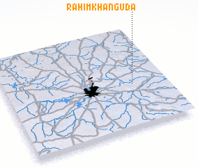 Places with similar names to Rāhīm Khānguda, India :: Disclaimer :: Information on this page comes without warranty of any kind |
||
|
Where is Rāhīm Khānguda? Elevation and coordinates ::
Latitude (lat): 17°27'0"N Longitude (lon): 78°47'45"E
Elevation (approx.): 423m (map arrows pan, magnifying glasses zoom) |
||
|
Visiting Rāhīm Khānguda? Hotel/Accommodation ::
Book a hotel in Rāhīm Khānguda Travel Guide ::
Buy a travel guide for India rental cars ::
car rental offers GPS waypoint ::
download a GPX waypoint (PoI) of Rāhīm Khānguda for your GPS receiver
|
||