|
search place name
|
||
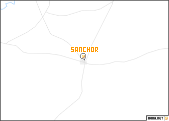
Sānchor (Rājasthān, India)Sānchor is a town in the Rājasthān region of India. An overview map of the region around Sānchor is displayed below.
regional and 3d topo map of Sānchor, India ::
Sānchor airports ::
The nearest airport is AMD - Ahmedabad, located 205.6 km south east of Sānchor.
Other airports nearby include JOH - Jodhpur (209.6 km north east), IXY - Kandla (249.1 km south west), Nearby towns ::
[all distances 'as the bird flies' and approximate]  Places with similar names to Sānchor, India ::
// Cenciara (IT)
// Sancheira (PT)
// Sanchur (BD)
// Sonā Char (BD)
// Sanchirí (CR)
// Sintiourou (SN)
// Sintiou Rou (GN)
// Sintiourou (GN)
// Sintiourou (GN)
// Sinch'o-ri (KP)
Disclaimer :: Information on this page comes without warranty of any kind |
||
|
Where is Sānchor? Elevation and coordinates ::
Latitude (lat): 24°45'19"N Longitude (lon): 71°46'20"E
Elevation (approx.): 61m (map arrows pan, magnifying glasses zoom) |
||
|
Visiting Sānchor? Hotel/Accommodation ::
Book a hotel in Sānchor Travel Guide ::
Buy a travel guide for India rental cars ::
car rental offers GPS waypoint ::
download a GPX waypoint (PoI) of Sānchor for your GPS receiver
|
||