|
search place name
|
||
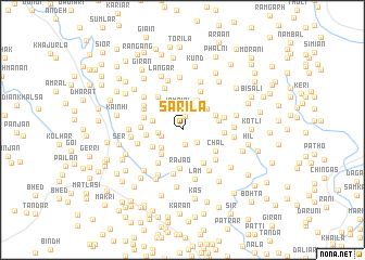
Sarīla (Jammu and Kashmīr, India)Sarīla is a town in the Jammu and Kashmīr region of India. An overview map of the region around Sarīla is displayed below.
regional and 3d topo map of Sarīla, India ::
Sarīla airports ::
The nearest airport is RAZ - Rawala Kot Rawalakot, located 68.4 km north west of Sarīla.
Other airports nearby include IXJ - Jammu (94.9 km south east), SXR - Srinagar (97.9 km north east), ISB - Islamabad Chaklala (101.4 km west), MFG - Muzaffarabad (128.9 km north west), Nearby towns ::
Kas (1.4km north) //
Loran (1.6km south) //
Totoha (1.8km south east) //
Suka Nabdri (1.9km west) //
Jambīri (2.2km north) //
Jijot Bahraui (2.1km west) //
Kanda (2.6km south west) //
Jogalpor (2.7km west) //
Pukharn (3.1km south west) //
Khola (3.0km north east) //
Gura Gurarār (3.3km north east) //
Jijot (3.1km south west) //
Pīr Marādhi (3.2km north east) //
Chhapriār (3.1km west) //
Pīr Badesar (3.2km east) //
Patrār (3.8km south east) //
Rajāo (4.0km south) //
Chal (3.6km south east) //
Band Mohra (4.0km south west) //
Khāngur (3.6km west) //
Rapri (4.0km north west) //
Tathibon (3.6km west) //
Thandi Kasi (3.6km east) //
Pithanā (4.3km north) //
Sarsala (3.8km east) //
Chauki (4.0km north west) //
Zinda Pīr (4.5km south) //
Nāla (4.2km south east) //
Kot Ketaro (4.6km north) //
[all distances 'as the bird flies' and approximate] 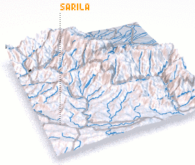 Places with similar names to Sarīla, India ::
Disclaimer :: Information on this page comes without warranty of any kind |
||
|
Where is Sarīla? Elevation and coordinates ::
Latitude (lat): 33°17'40"N Longitude (lon): 74°7'10"E
Elevation (approx.): 1113m (map arrows pan, magnifying glasses zoom) |
||
|
Visiting Sarīla? Hotel/Accommodation ::
Book a hotel in Sarīla Travel Guide ::
Buy a travel guide for India rental cars ::
car rental offers GPS waypoint ::
download a GPX waypoint (PoI) of Sarīla for your GPS receiver
|
||