|
search place name
|
||
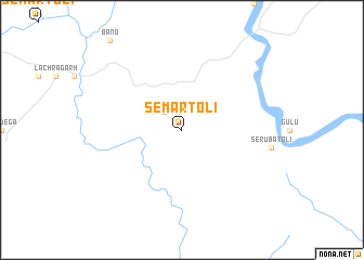
Semartoli (Jharkhand, India)Semartoli is a town in the Jharkhand region of India. An overview map of the region around Semartoli is displayed below.
regional and 3d topo map of Semartoli, India ::
Semartoli airports ::
The nearest airport is RRK - Rourkela, located 40.1 km south west of Semartoli.
Other airports nearby include IXR - Ranchi Birsa Munda (88.1 km north east), IXW - Jamshedpur (124.4 km east), DBO - Dhanbad (202.4 km north east), Nearby towns ::
Sarnātoli (2.5km north west) //
[all distances 'as the bird flies' and approximate] 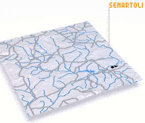 Places with similar names to Semartoli, India ::
// Summerdale (US)
// Smørdal (NO)
// Şahmuratlı (TR)
// Zimmerdale (US)
// Somerdale (US)
// Summerdale (US)
// Somerdale (US)
// Summerdale (US)
// Semartal (IN)
// Semartoli (IN)
Disclaimer :: Information on this page comes without warranty of any kind |
||
|
Where is Semartoli? Elevation and coordinates ::
Latitude (lat): 22°35'0"N Longitude (lon): 84°59'0"E
Elevation (approx.): 395m (map arrows pan, magnifying glasses zoom) |
||
|
Visiting Semartoli? Hotel/Accommodation ::
Book a hotel in Semartoli Travel Guide ::
Buy a travel guide for India rental cars ::
car rental offers GPS waypoint ::
download a GPX waypoint (PoI) of Semartoli for your GPS receiver
|
||