|
search place name
|
||
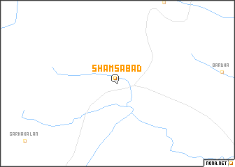
Shamsābād (Madhya Pradesh, India)Shamsābād is a town in the Madhya Pradesh region of India. An overview map of the region around Shamsābād is displayed below.
regional and 3d topo map of Shamsābād, India ::
Shamsābād airports ::
The nearest airport is BHO - Bhopal, located 60.5 km south of Shamsābād.
Other airports nearby include IDR - Indore Devi Ahilyabai Holkar (210.5 km south west), KTU - Kota (222.9 km north west), Nearby towns ::
[all distances 'as the bird flies' and approximate] 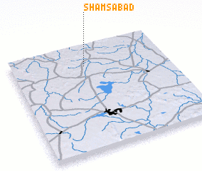 Places with similar names to Shamsābād, India ::
Disclaimer :: Information on this page comes without warranty of any kind |
||
|
Where is Shamsābād? Elevation and coordinates ::
Latitude (lat): 23°49'0"N Longitude (lon): 77°29'0"E
Elevation (approx.): 461m (map arrows pan, magnifying glasses zoom) |
||
|
Visiting Shamsābād? Hotel/Accommodation ::
Book a hotel in Shamsābād Travel Guide ::
Buy a travel guide for India rental cars ::
car rental offers GPS waypoint ::
download a GPX waypoint (PoI) of Shamsābād for your GPS receiver
|
||