|
search place name
|
||
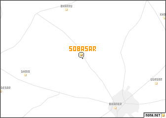
Sobāsar (Rājasthān, India)Sobāsar is a town in the Rājasthān region of India. An overview map of the region around Sobāsar is displayed below.
regional and 3d topo map of Sobāsar, India ::
Sobāsar airports ::
The nearest airport is JOH - Jodhpur, located 207.5 km south of Sobāsar.
Nearby towns ::
[all distances 'as the bird flies' and approximate] 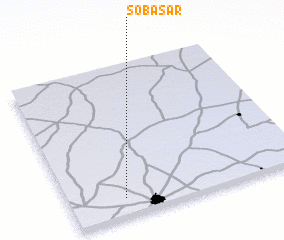 Places with similar names to Sobāsar, India ::
// Sub-Cira (ES)
// Sabsār (BD)
// Sabsar (IN)
// Saboussiré (MR)
// Saboussiré (SN)
// Sibassar (SN)
// Sābo Sarāi (PK)
// Sabuseri (GM)
// Sabu Sirae (GM)
// Sabouciré (GN)
Disclaimer :: Information on this page comes without warranty of any kind |
||
|
Where is Sobāsar? Elevation and coordinates ::
Latitude (lat): 28°7'0"N Longitude (lon): 73°14'0"E
Elevation (approx.): 205m (map arrows pan, magnifying glasses zoom) |
||
|
Visiting Sobāsar? Hotel/Accommodation ::
Book a hotel in Sobāsar Travel Guide ::
Buy a travel guide for India rental cars ::
car rental offers GPS waypoint ::
download a GPX waypoint (PoI) of Sobāsar for your GPS receiver
|
||