|
search place name
|
||
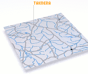
Taknera (Madhya Pradesh, India)Taknera is a town in the Madhya Pradesh region of India. An overview map of the region around Taknera is displayed below.
regional and 3d topo map of Taknera, India ::

Taknera airports ::
The nearest airport is KTU - Kota, located 165.6 km west of Taknera.
Other airports nearby include BHO - Bhopal (173.4 km south), GWL - Gwalior (178.0 km north east), JAI - Jaipur (273.5 km north west), Nearby towns ::
 Places with similar names to Taknera, India ::
// Tiganir (RU)
// Ticknor (US)
// Deh Konār (IR)
// Deh Konārī (IR)
// Deh Konārī (IR)
// Tackner (US)
// Tignor (US)
// Diognère (SN)
// Tougneur (SN)
// Dakhner (PK)
Disclaimer :: Information on this page comes without warranty of any kind |
||
|
Where is Taknera? Elevation and coordinates ::
Latitude (lat): 24°51'0"N Longitude (lon): 77°27'0"E
Elevation (approx.): 472m (map arrows pan, magnifying glasses zoom) |
||
|
Visiting Taknera? Hotel/Accommodation ::
Book a hotel in Taknera Travel Guide ::
Buy a travel guide for India rental cars ::
car rental offers GPS waypoint ::
download a GPX waypoint (PoI) of Taknera for your GPS receiver
|
||