|
search place name
|
||
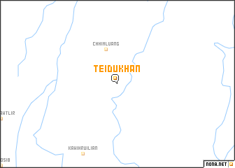
Teidukhan (Mizoram, India)Teidukhan is a town in the Mizoram region of India. An overview map of the region around Teidukhan is displayed below.
regional and 3d topo map of Teidukhan, India ::
Teidukhan airports ::
The nearest airport is IXS - Silchar, located 63.4 km north of Teidukhan.
Other airports nearby include AJL - Aizwal Aizawl (67.1 km south), IXH - Kailashahar (87.4 km west), IMF - Imphal (113.8 km north east), ZYL - Sylhet Osmani Osmany Intl (121.9 km north west), Nearby towns ::
Chhimluang (5.8km north) //
[all distances 'as the bird flies' and approximate] 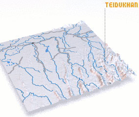 Places with similar names to Teidukhan, India ::
// Tutykhino (RU)
// Dadeh Khān (IR)
// Tātkhāna (BD)
// Tūtā Khāneh (IR)
// Dāed Khān (PK)
// Dudāi Khān (PK)
// Dūdkhāna (PK)
Disclaimer :: Information on this page comes without warranty of any kind |
||
|
Where is Teidukhan? Elevation and coordinates ::
Latitude (lat): 24°21'0"N Longitude (lon): 92°52'0"E
Elevation (approx.): 99m (map arrows pan, magnifying glasses zoom) |
||
|
Visiting Teidukhan? Hotel/Accommodation ::
Book a hotel in Teidukhan Travel Guide ::
Buy a travel guide for India rental cars ::
car rental offers GPS waypoint ::
download a GPX waypoint (PoI) of Teidukhan for your GPS receiver
|
||