|
search place name
|
||
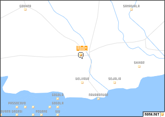
Una (Gujarāt, India)Una is a town in the Gujarāt region of India. An overview map of the region around Una is displayed below.
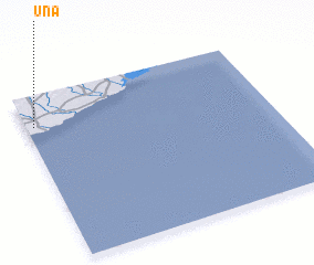
regional and 3d topo map of Una, India ::
Una airports ::
The nearest airport is IXK - Keshod, located 96.7 km north west of Una.
Other airports nearby include BHU - Bhaunagar Bhavnagar (158.2 km north east), RAJ - Rajkot (167.3 km north), PBD - Porbandar (170.0 km north west), STV - Surat (180.7 km east), Nearby towns ::
 Places with similar names to Una, India ::
Disclaimer :: Information on this page comes without warranty of any kind |
||
|
Where is Una? Elevation and coordinates ::
Latitude (lat): 20°49'0"N Longitude (lon): 71°2'0"E
Elevation (approx.): 25m (map arrows pan, magnifying glasses zoom) |
||
|
Visiting Una? Hotel/Accommodation ::
Book a hotel in Una Travel Guide ::
Buy a travel guide for India rental cars ::
car rental offers GPS waypoint ::
download a GPX waypoint (PoI) of Una for your GPS receiver
|
||