|
search place name
|
||
Vanderda (Gujarāt, India)Vanderda is a town in the Gujarāt region of India. An overview map of the region around Vanderda is displayed below.
regional and 3d topo map of Vanderda, India ::

Vanderda airports ::
The nearest airport is BDQ - Baroda Vadodara, located 36.8 km west of Vanderda.
Other airports nearby include AMD - Ahmedabad (128.8 km north west), BHU - Bhaunagar Bhavnagar (157.3 km south west), STV - Surat (159.1 km south west), NMB - Daman (222.1 km south), Nearby towns ::
Saidal (7.8km south west) //
Koba (7.8km south west) //
Rāmjikhant (10.1km north west) //
[all distances 'as the bird flies' and approximate] 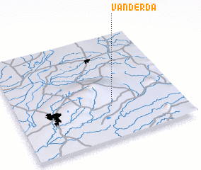 Places with similar names to Vanderda, India ::
// Venture Out (US)
// Vendouráta (GR)
// Fonte Errada (PT)
// Fuente Rueda (ES)
// Phundardih (IN)
// Vindirodie (ML)
// Fond Droit (HT)
// Venturada (ES)
// Vinderød (DK)
Disclaimer :: Information on this page comes without warranty of any kind |
||
|
Where is Vanderda? Elevation and coordinates ::
Latitude (lat): 22°19'0"N Longitude (lon): 73°35'0"E
Elevation (approx.): 98m (map arrows pan, magnifying glasses zoom) |
||
|
Visiting Vanderda? Hotel/Accommodation ::
Book a hotel in Vanderda Travel Guide ::
Buy a travel guide for India rental cars ::
car rental offers GPS waypoint ::
download a GPX waypoint (PoI) of Vanderda for your GPS receiver
|
||