|
search place name
|
||
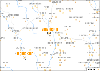
Babakan (Indonesia)Babakan is a town in Indonesia. An overview map of the region around Babakan is displayed below.
regional and 3d topo map of Babakan, Indonesia ::
Babakan airports ::
The nearest airport is CGK - Jakarta Soekarno Hatta Intl, located 50.0 km north of Babakan.
Nearby towns ::
Cigowong (0.0km north) //
Cipayung (1.9km south) //
Lawangtaji (2.1km north) //
Bunar (2.6km north west) //
Cigudeg (3.4km east) //
Kompa (3.7km south) //
Pasirnangka (3.8km east) //
Sipugur (4.6km south east) //
Kalongdagul (4.9km north) //
Jaga (5.1km south east) //
Toge (5.6km north) //
Penyawungan (5.8km east) //
Cikawung (5.8km east) //
Kalong (5.8km east) //
Cikasungka (6.1km east) //
Pasirmadang (6.7km south west) //
Garisul (6.7km north west) //
Nanggung (6.7km south east) //
Pontok (6.9km east) //
Gunungbaru (7.1km south east) //
Raganis (7.3km north) //
Bolang (7.5km north) //
Kembangkunung (7.6km west) //
Cipata (7.6km south) //
Bolang (7.7km south east) //
Ciparahu (7.7km east) //
Sipak (8.1km north) //
Urug (8.2km south) //
Cibrani (8.3km south west) //
[all distances 'as the bird flies' and approximate] 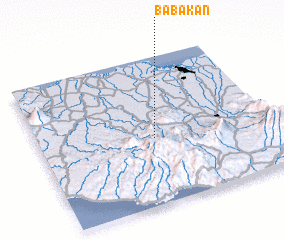 Places with similar names to Babakan, Indonesia ::
Disclaimer :: Information on this page comes without warranty of any kind |
||
|
Where is Babakan? Elevation and coordinates ::
Latitude (lat): 6°33'0"S Longitude (lon): 106°30'0"E
Elevation (approx.): 347m (map arrows pan, magnifying glasses zoom) |
||
|
Visiting Babakan? Hotel/Accommodation ::
Book a hotel in Babakan Travel Guide ::
Buy a travel guide for Indonesia rental cars ::
car rental offers GPS waypoint ::
download a GPX waypoint (PoI) of Babakan for your GPS receiver
|
||