|
search place name
|
||
Bagankera (Indonesia)Bagankera is a town in Indonesia. An overview map of the region around Bagankera is displayed below.
regional and 3d topo map of Bagankera, Indonesia ::

Bagankera airports ::
The nearest airport is RGT - Rengat Japura, located 72.0 km west of Bagankera.
Other airports nearby include PKU - Pekanbaru Sultan Syarif Kasim Ii (180.7 km west), DJB - Jambi Sultan Thaha (181.8 km south east), QPG - Paya Lebar (198.2 km north east), XSP - Singapore Seletar (201.1 km north east), Nearby towns ::
[all distances 'as the bird flies' and approximate] 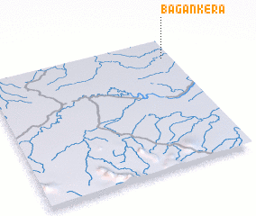 Places with similar names to Bagankera, Indonesia ::
// Bakana-Kari (BJ)
// Bégangoro (CF)
// Bocanegra (CO)
// Bukanagara (ID)
// Boca Negra (MX)
// Bocanegra (MX)
// Baykungur (UZ)
// Bikongoro (UG)
// Bugangari (UG)
// Boca Negra (PE)
Disclaimer :: Information on this page comes without warranty of any kind |
||
|
Where is Bagankera? Elevation and coordinates ::
Latitude (lat): 0°9'0"S Longitude (lon): 102°57'0"E
Elevation (approx.): 22m (map arrows pan, magnifying glasses zoom) |
||
|
Visiting Bagankera? Hotel/Accommodation ::
Book a hotel in Bagankera Travel Guide ::
Buy a travel guide for Indonesia rental cars ::
car rental offers GPS waypoint ::
download a GPX waypoint (PoI) of Bagankera for your GPS receiver
|
||