|
search place name
|
||
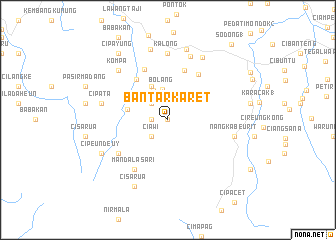
Bantarkaret (Indonesia)Bantarkaret is a town in Indonesia. An overview map of the region around Bantarkaret is displayed below.
regional and 3d topo map of Bantarkaret, Indonesia ::
Bantarkaret airports ::
The nearest airport is CGK - Jakarta Soekarno Hatta Intl, located 57.4 km north of Bantarkaret.
Nearby towns ::
Cisarua (0.0km north) //
Cibeber (1.8km west) //
Curugbitung (2.6km north west) //
Ciawi (2.6km south west) //
Bolang (3.4km north) //
Gunungbaru (3.7km north west) //
Nanggung (4.1km north west) //
Urug (4.7km west) //
Jaga (5.8km north west) //
Hambaro (5.9km north) //
Cisaranten 2 (6.2km north east) //
Sipugur (6.2km north west) //
Mandalasari (6.7km south west) //
Cisangku (6.7km south west) //
Kalong (7.4km north) //
Penyawungan (7.4km north) //
Pabuwaran 6 (7.5km north) //
Cipata (7.6km west) //
Puraseda (7.6km east) //
Nangkabeurit (7.6km east) //
Kompa (7.8km north west) //
Sadeng 1 (8.0km north east) //
Pasirnangka (8.1km north) //
Ciparahu (8.1km north) //
Ciwalen (8.3km south west) //
Cisarua (8.3km south west) //
Cipeundeuy (8.2km south west) //
Cipayung (9.2km north west) //
Sodong 1 (11.0km north east) //
[all distances 'as the bird flies' and approximate] 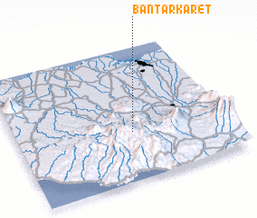 Places with similar names to Bantarkaret, Indonesia ::
// Bøndergårde (DK)
Disclaimer :: Information on this page comes without warranty of any kind |
||
|
Where is Bantarkaret? Elevation and coordinates ::
Latitude (lat): 6°38'0"S Longitude (lon): 106°33'0"E
Elevation (approx.): 487m (map arrows pan, magnifying glasses zoom) |
||
|
Visiting Bantarkaret? Hotel/Accommodation ::
Book a hotel in Bantarkaret Travel Guide ::
Buy a travel guide for Indonesia rental cars ::
car rental offers GPS waypoint ::
download a GPX waypoint (PoI) of Bantarkaret for your GPS receiver
|
||