|
search place name
|
||
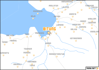
Bitung (Sulawesi Utara, Indonesia)Bitung is a town in the Sulawesi Utara region of Indonesia. An overview map of the region around Bitung is displayed below.
regional and 3d topo map of Bitung, Indonesia ::
Bitung airports ::
The nearest airport is MDC - Manado Sam Ratulangi, located 54.4 km north east of Bitung.
Other airports nearby include GTO - Gorontalo Jalaluddin (203.1 km west), Nearby towns ::
Pondang (0.9km north east) //
Uwunandua (1.1km south west) //
Amurang (2.2km south west) //
Pinaling (2.6km east) //
Rumoon (2.7km south west) //
Ranoiapo (3.7km west) //
Woran (4.1km south) //
Lopana (4.9km north east) //
Tumpaan (6.0km north east) //
Ritey (6.5km north east) //
Matani (6.8km north east) //
Kapitu (7.1km west) //
Teep (8.5km west) //
Ranoketangtua (8.6km south) //
Bajo (8.8km north west) //
Popareng (9.2km north west) //
Elusan (9.8km south west) //
Popontolen (9.9km north east) //
Pinamorongan (10.2km north east) //
Tewasen (10.3km south west) //
Kapoya (11.3km north east) //
Pondos (11.4km south west) //
[all distances 'as the bird flies' and approximate] 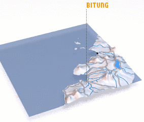 Places with similar names to Bitung, Indonesia ::
Disclaimer :: Information on this page comes without warranty of any kind |
||
|
Where is Bitung? Elevation and coordinates ::
Latitude (lat): 1°11'36"N Longitude (lon): 124°35'21"E
Elevation (approx.): 51m (map arrows pan, magnifying glasses zoom) |
||
|
Visiting Bitung? Hotel/Accommodation ::
Book a hotel in Bitung Travel Guide ::
Buy a travel guide for Indonesia rental cars ::
car rental offers GPS waypoint ::
download a GPX waypoint (PoI) of Bitung for your GPS receiver
|
||