|
search place name
|
||
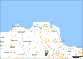
Cirunipak (Indonesia)Cirunipak is a town in Indonesia. An overview map of the region around Cirunipak is displayed below.
regional and 3d topo map of Cirunipak, Indonesia ::
Cirunipak airports ::
The nearest airport is CGK - Jakarta Soekarno Hatta Intl, located 10.4 km south of Cirunipak.
Nearby towns ::
Kohod Satu (1.3km south west) //
Empang (1.5km east) //
Alar (2.6km west) //
Lontar (3.1km south west) //
Pangkalan (3.1km south) //
Pangkalan (3.1km south) //
Tegalangus (3.2km east) //
Kebonmangga (3.2km south east) //
Gaga (3.2km east) //
Kampunggiti (3.5km south east) //
Kalibaru (3.5km south) //
Kampungbesar (3.7km south east) //
Kampungasem (3.9km south east) //
Akah (3.9km south east) //
Kuburanserani (3.9km east) //
Katapang (4.2km south east) //
Kampungmelayu (4.3km south east) //
Bubulak (4.3km east) //
Lemo (4.5km east) //
Kramat (4.7km west) //
Bolang (4.8km east) //
Tanjungpasir (4.8km north east) //
Kandangsapi (5.0km east) //
Pekajangan (5.2km south) //
Gedong (5.2km east) //
Kebonwangkal (5.2km south) //
Tukangkajang (5.3km south east) //
Muara (5.4km east) //
Rawalele (5.6km south east) //
[all distances 'as the bird flies' and approximate] 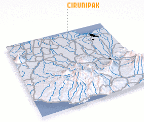 Places with similar names to Cirunipak, Indonesia ::
// Sarīn Pakka (PK)
Disclaimer :: Information on this page comes without warranty of any kind |
||
|
Where is Cirunipak? Elevation and coordinates ::
Latitude (lat): 6°2'2"S Longitude (lon): 106°38'4"E
Elevation (approx.): 5m (map arrows pan, magnifying glasses zoom) |
||
|
Visiting Cirunipak? Hotel/Accommodation ::
Book a hotel in Cirunipak Travel Guide ::
Buy a travel guide for Indonesia rental cars ::
car rental offers GPS waypoint ::
download a GPX waypoint (PoI) of Cirunipak for your GPS receiver
|
||