|
search place name
|
||
Glagaharun (Indonesia)Glagaharun is a town in Indonesia. An overview map of the region around Glagaharun is displayed below.
regional and 3d topo map of Glagaharun, Indonesia ::
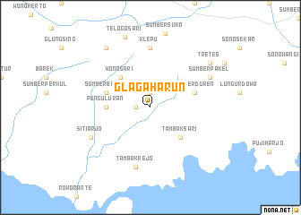
Nearby towns ::
Pantursari (1.8km west) //
Sumbermas (1.9km north) //
Wonosari (5.2km north west) //
Tambaksari (5.2km south east) //
Penguluran (5.5km west) //
Sumberduren (5.8km east) //
Sumberbendo (5.8km west) //
Klepu (7.4km north) //
Tambakrejo (7.6km south) //
Sitiarjo (8.2km south west) //
Sumberpakel (8.2km north east) //
Sumbermanjing-wetan (9.2km north west) //
Tretes (9.2km north east) //
Telogosari (9.3km north) //
[all distances 'as the bird flies' and approximate] 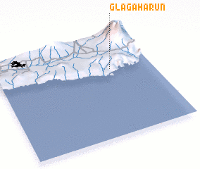 Places with similar names to Glagaharun, Indonesia ::
// Quelkhorn (DE)
// Glukharinyy (RU)
// Glukharinyy (RU)
// Glukharnyy (RU)
// Glukharnyy (RU)
// Kalkhūrān (IR)
// Kūl Kharān (IR)
// Kalokhórion (GR)
// Kalokhórion (GR)
// Kalokhórion (GR)
Disclaimer :: Information on this page comes without warranty of any kind |
||
|
Where is Glagaharun? Elevation and coordinates ::
Latitude (lat): 8°20'0"S Longitude (lon): 112°44'0"E
Elevation (approx.): 205m (map arrows pan, magnifying glasses zoom) |
||
|
Visiting Glagaharun? Hotel/Accommodation ::
Book a hotel in Glagaharun Travel Guide ::
Buy a travel guide for Indonesia rental cars ::
car rental offers GPS waypoint ::
download a GPX waypoint (PoI) of Glagaharun for your GPS receiver
|
||