|
search place name
|
||
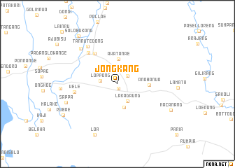
Jongkang (Sulawesi Selatan, Indonesia)Jongkang is a town in the Sulawesi Selatan region of Indonesia. An overview map of the region around Jongkang is displayed below.
regional and 3d topo map of Jongkang, Indonesia ::
Jongkang airports ::
The nearest airport is UPG - Ujung Pandang Hasanuddin, located 135.3 km south west of Jongkang.
Nearby towns ::
Bolamalimpang (0.7km south) //
Callaccu (2.1km north east) //
Loppong (2.8km west) //
Lakadaung (3.1km south east) //
Buloe (3.9km south) //
Awatanae (3.9km north) //
Anabanua (5.0km east) //
Sarawatu (6.0km north west) //
Amesangeng (6.8km north west) //
Wele (7.0km west) //
Tanrutedong (7.6km north west) //
Tanrutedong (8.1km north west) //
Sappa (8.7km west) //
Loa (8.9km south west) //
Macanang (9.4km south east) //
Salobukang (9.9km north west) //
Rubae (9.9km south west) //
Lainru (12.1km north west) //
[all distances 'as the bird flies' and approximate] 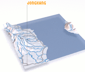 Places with similar names to Jongkang, Indonesia ::
Disclaimer :: Information on this page comes without warranty of any kind |
||
|
Where is Jongkang? Elevation and coordinates ::
Latitude (lat): 3°56'37"S Longitude (lon): 120°2'56"E
Elevation (approx.): 31m (map arrows pan, magnifying glasses zoom) |
||
|
Visiting Jongkang? Hotel/Accommodation ::
Book a hotel in Jongkang Travel Guide ::
Buy a travel guide for Indonesia rental cars ::
car rental offers GPS waypoint ::
download a GPX waypoint (PoI) of Jongkang for your GPS receiver
|
||