|
search place name
|
||
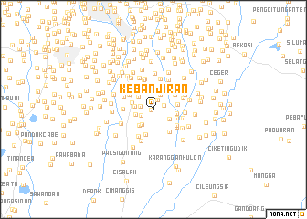
Kebanjiran (Indonesia)Kebanjiran is a town in Indonesia. An overview map of the region around Kebanjiran is displayed below.
regional and 3d topo map of Kebanjiran, Indonesia ::
Kebanjiran airports ::
The nearest airport is CGK - Jakarta Soekarno Hatta Intl, located 32.6 km north west of Kebanjiran.
Nearby towns ::
Ceger (0.3km west) //
Lobangbuaya (1.3km north east) //
Rawahmong (1.4km north east) //
Penggilingan-baru (1.6km west) //
Wangkal (1.7km south west) //
Tanahduaratus (2.0km north east) //
Pasarrebo (2.2km west) //
Bambuapus (2.3km south east) //
Merdika (2.3km south west) //
Rambutan (2.3km west) //
Dukuh (2.4km north west) //
Kampungutan (2.6km south west) //
Lembur (2.6km north west) //
Kampungmakasar (2.7km north west) //
Kampungtengah (2.7km west) //
Pagerarang (2.8km east) //
Bantarjati (3.0km east) //
Bojongnangka (3.0km east) //
Pembilangan (3.2km south) //
Bojong (3.2km north east) //
Cilangkap (3.3km south east) //
Setu (3.4km south east) //
Makasar (3.4km north west) //
Kramat (3.6km south east) //
Tanjung-timur (3.7km west) //
Lubang Buaya (3.8km east) //
Pondokmelati (3.8km east) //
Cipinang-udik (3.8km north) //
Warudoyong (3.8km north) //
[all distances 'as the bird flies' and approximate] 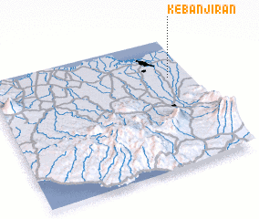 Places with similar names to Kebanjiran, Indonesia :: Disclaimer :: Information on this page comes without warranty of any kind |
||
|
Where is Kebanjiran? Elevation and coordinates ::
Latitude (lat): 6°18'1"S Longitude (lon): 106°53'34"E
Elevation (approx.): 41m (map arrows pan, magnifying glasses zoom) |
||
|
Visiting Kebanjiran? Hotel/Accommodation ::
Book a hotel in Kebanjiran Travel Guide ::
Buy a travel guide for Indonesia rental cars ::
car rental offers GPS waypoint ::
download a GPX waypoint (PoI) of Kebanjiran for your GPS receiver
|
||